
Google Earth and Google Maps: useful, but not enough for the perfect pitch
Many campers first view a campsite from above. That gives insight, but not the full story. Pitchviewer maps every individual pitch with the help of the community.
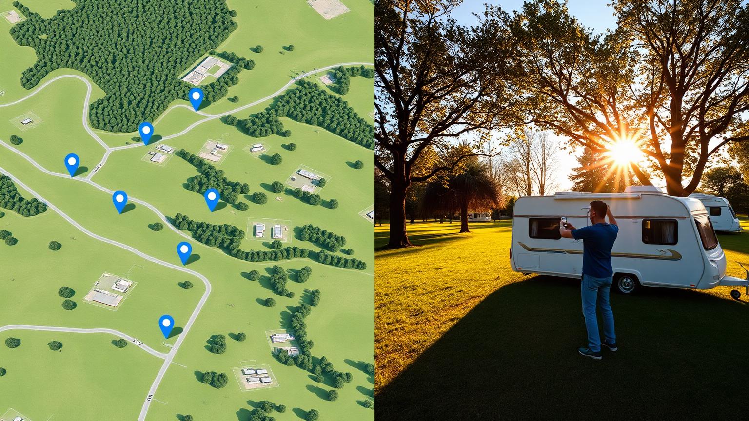
Imagine: you have your eye on a campsite in the Dordogne, along the Moselle or somewhere by the Italian lakes. The first step for most campers is the same: open Google Maps, zoom in, pan around a bit, and look from above to see where the pitches are. Sometimes you switch to Google Earth for a 3D view of the terrain. And for a general impression that's fine. You see the surroundings, the distance to the water, the tree line and the main road.
But then comes the next question: what does my specific pitch look like? And that's where the satellite image stops.
What Google Maps and Google Earth do well
Let's be honest: without Google Maps, planning a holiday would be a lot harder. The tools are indispensable for:
- The route — how do you get from the motorway to the campsite, and which barrier do you use?
- The surroundings — is the lake really within walking distance, or do you have to cross a busy road first?
- The terrain — is the campsite open and flat, or do the paths wind between trees and hills?
- Distance estimates — useful to see how large a field is relative to the rest of the campsite.
For many campers that's enough. They think: I can see where the pitches are, so I know what to expect. And if all pitches on a campsite are more or less the same, that may be true. But on most campsites one spot differs enormously from another.
Why the satellite image doesn't tell the full story
A satellite photo is a snapshot from above. It doesn't tell you:
- How the surface feels — grass, sand, gravel or mud after a rain shower.
- Whether shade falls in the afternoon — you can see trees, but not how their shadow moves across the pitch on a summer afternoon.
- How steep the approach route is — a path can look flat while your caravan struggles to get up it.
- Where the power box is — and whether you need a twenty-metre extension lead.
- Whether the pitch is sheltered — wind can make a beautiful open spot uncomfortable in practice.
In short: Google Maps shows you where a campsite is. Pitchviewer shows you what it's really like on the spot where you'll be staying.
Pitchviewer takes it a step further
That's exactly why Pitchviewer was created. We believe that real campers are the best source of information about real camping pitches. Not the campsite's marketing department, not a drone photo from three years ago, but someone who was standing on pitch 127 yesterday and shares their experience.
That's why on Pitchviewer you will find per pitch:
- Recent ground-level photos — taken by campers, not by a photographer on the campsite's payroll.
- Surface details — grass, hardstanding, uneven spots, mud sensitivity.
- Shade and sun information — where does the sun stand in the morning, does shade fall from the trees in the afternoon?
- Facilities on the spot — electricity, water, drainage, and how far these are from your caravan or motorhome.
- The approach route on the site — narrow path, sharp corner, ditch, slope or step: you see it in advance.
And because the information varies per pitch, you can consciously choose the spot that suits you. Do you have a large caravan with awning? Then you want space and a flat surface. Are you travelling with a small tent? Then shade and proximity to sanitary facilities may be more important.
The power of the camping community
The beauty of Pitchviewer is that the platform runs on the community. Every photo you add helps the next camper. Every detail you fill in — about flatness, privacy or outlook — makes someone else's choice easier.
That's another advantage over Google Maps. There you look at a map maintained by a company. With Pitchviewer you look at experiences from people like you. Campers who know that a photo of the approach route can be worth more than ten pretty drone shots.
How to add a pitch yourself
Want to help build it? It only takes a few minutes:
- Is the campsite already on Pitchviewer? Go to Search campsite, open the campsite page and tap the + button to add a pitch.
- Isn't it listed yet? Add it via add campsite. We pull the basic details from Google Maps, you check them and confirm.
- Want a step-by-step guide? Our tutorial how to add a campsite or pitch explains everything.
Take your photos on arrival, add the pitch number and describe what you see. Your contribution is immediately valuable to the next camper.
Google Maps and Pitchviewer: the ideal combination
We're not saying you should ditch Google Maps or Google Earth. On the contrary: feel free to use them to compare campsites in a region and explore the surroundings. Then switch to Pitchviewer to view the individual pitches. This way you combine the overview from above with the detail from the ground.
The best workflow? Find a campsite that appeals to you on Google Maps, then check on Pitchviewer whether there are already photos of specific pitches. If there aren't, you know you need to ask the campsite extra questions, or that you can be the first to share them.
In closing
Google Earth and Google Maps give you a great start. They show the landscape, the location and the route. But for the spot where you'll put your tent, caravan or motorhome, you need more. You want to know how the ground lies, where the shade falls and whether you can reach your spot without trouble.
Pitchviewer maps those details — pitch by pitch, with help from the camping community. So next time you pick a campsite, don't just look from above. Also look at the real photos of the real spots. And if you find yourself somewhere thinking: I wish I'd known this beforehand — share it.
Leave a comment
No account needed. We publish fitting comments after a check.